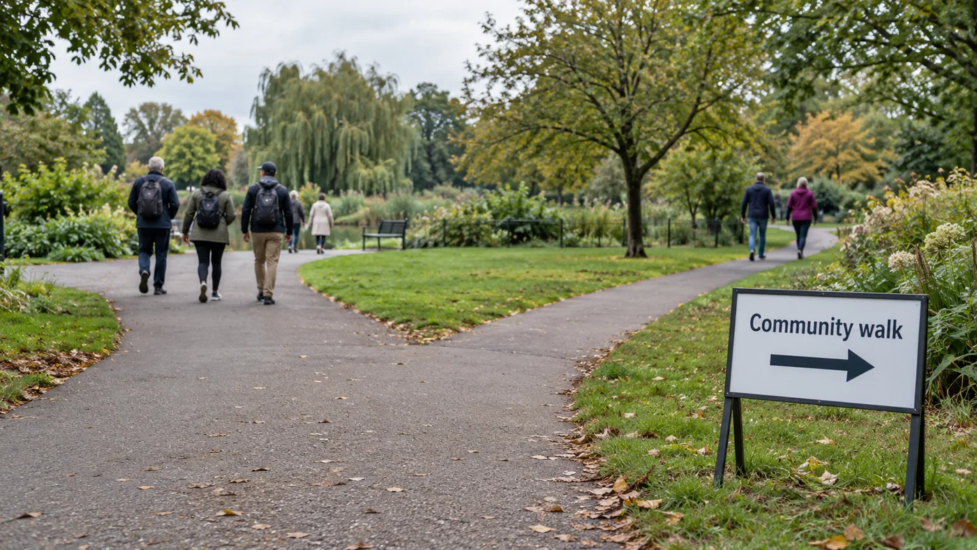
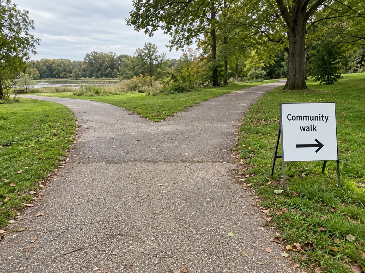
For walking, wheeling and cycling routes, pedestrian and cyclist specific signage and road markings should be located at all decision points and junctions. Signs and markings must be clear, easily visible and legible.
Use those route-design principles to begin your community-walk wayfinding plan. Work through the route choices, sign design and collection arrangements below, then fill out the sign record for your event. For wider planning, visit our community events guides.
Start with the decision points
Active Travel England advises that signage should be kept to the minimum to reduce street clutter and maintenance costs. Signage should be of an appropriate size depending on its purpose and location.
On your route plan, ask: where will a participant have to choose a direction? What message belongs at that choice? Review each proposed mark against those questions.
Directional information points people to destinations. Identification information labels a route or facility and reassures people that they are on the correct route.
For your sign draft, write the event or route name beside the proposed arrow. Ask separately: “Which way?” and “Which walk?”
Make the message easy to read
Use these pedestrian sign-design recommendations from NZ Transport Agency Waka Kotahi when reviewing your draft.
- Signs should have contrasting background and lettering colours, light on dark or dark on light.
- Choose easy-to-read fonts that work at different scales.
- Keep directional messages succinct.
- Use existing symbols without giving them new meanings.
- Information text should always appear in sentence case.
- Avoid all-uppercase wording and abbreviations.
- Arrow size should be proportionate to the adjacent lettering and its position on the sign.
Review the actual wording: which words can you remove? Is the arrow still the focus? Does the event name match the name you plan to give participants?
Leave room to read and pass
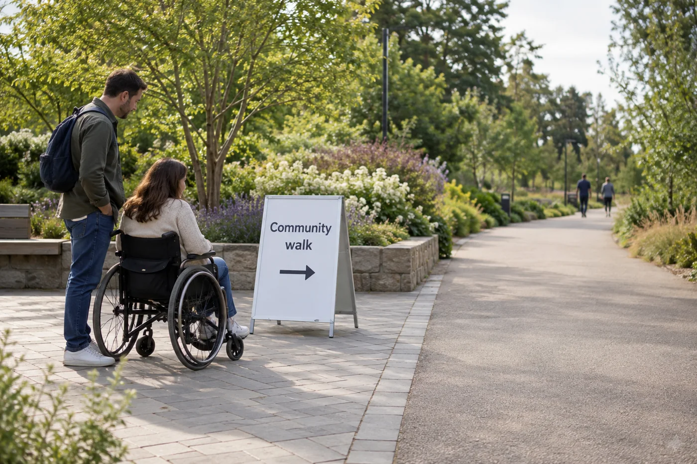
The information should be mounted at an accessible height and be located in a well-lit area. The wayfinding sign should be placed so it is not blocking the route, path or ramps. There should be ample room for people to view the information together without blocking others passing.
At each proposed position, review the sign from the direction of approach. Include the space for someone stopping to read it in your placement discussion.
Choose marks for the event location
Before selecting a fixing or material, write down the conditions for your venue. Use the following local examples as prompts for that conversation.
Dartmoor route markers
For recreational events on Dartmoor, organisers are responsible for securing all landowner permissions for placing route markers. Dartmoor route markers must be kept to a minimum and only used in key locations where it is not possible to use marshals. All route markers should be made from biodegradable material under Dartmoor’s event guidance. Dartmoor National Park suggests the use of small bamboo canes. Event signage on Dartmoor should identify the organiser or the event taking place. Dartmoor route markers must not damage existing infrastructure and must not obscure existing signage.
Fixings and existing signs
In Herefordshire’s event traffic-control and signing guidance, signs must not be attached to lamp columns. East Hampshire’s event-sign guidance says not to cover, block or interfere with existing road signs or other signage.
Record the permission and fixing arrangement for your own event alongside each proposed location.
Keep a sign record through the event
Herefordshire’s event traffic-control and signing guidance says organisers must consider the location of each sign, with location-specific information. Organisers must also consider the time and date of placement and removal. Organisers must also consider the sequence of placement and removal. Organisers must also consider maintenance and checking of signage while it is out.
Copy this worksheet for each proposed sign. Fill it in with your event team before putting signs out, and return to it during collection.
- Location and approach
- Where will you put the sign, and from which direction will participants approach?
- Message and direction
- What exact wording and arrow will you use?
- Permission and fixing
- Who has agreed to the placement, and what fixing have you agreed?
- Placement
- Who will put it out, when, and in what sequence?
- Checks during the event
- Who will check the sign, and what needs attention?
- Removal
- Who will collect the sign and its fixings, when, and in what sequence?
- Collection record
- Has the assigned person confirmed collection?
What to remove after the walk
Bassetlaw’s event guide requires all temporary signs and fixings to be removed immediately after the event. For signs it considers acceptable, East Hampshire expects the sign, along with any cable ties, string or fixings, to be removed within 48 hours of the event ending.
Collection on Dartmoor
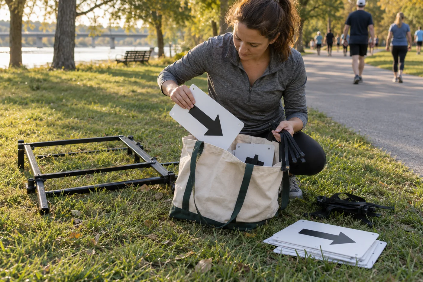
On Dartmoor, all route markers and associated event signage must be removed promptly once the event has finished and left out no longer than 24 hours after the end of the event. Dartmoor National Park suggests using sweepers behind the last participant to remove markers on the day of the event.
Include the agreed collection deadline in your sign record. At the end of the walk, ask the assigned collector to confirm the signs and fixings collected against the locations on the record.
Return to the community events guides for the rest of your event planning.
Sources
- Active Travel England — Signage and wayfinding
- NZ Transport Agency Waka Kotahi — Pedestrian wayfinding signs guidance note
- Dartmoor National Park — Guidance for event organisers
- Herefordshire Council — Temporary road closure for an event guidance
- East Hampshire District Council — Fly posting
- Bassetlaw District Council — Planning Event Guide